


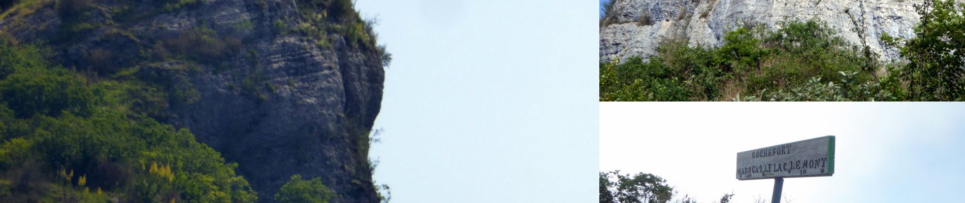
Rochefort-2021-05-18

Valmeinier
User
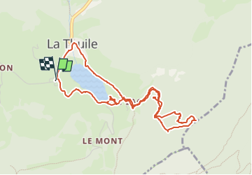

Length
5.2 km

Max alt
1080 m

Uphill gradient
224 m
Km-Effort
8.2 km

Min alt
874 m

Downhill gradient
224 m
Boucle
Yes
Creation date :
2022-05-23 04:03:49.676
Updated on :
2022-05-23 04:12:30.769
1h51
Difficulty : Medium

FREE GPS app for hiking
 SityTrail
IGN / Geographical institutes
SityTrail Plus
The world is yours!
About
Trail Walking of 5.2 km to be discovered at Auvergne-Rhône-Alpes, Savoy, La Thuile. This trail is proposed by Valmeinier.
Photos


Positioning
Country:
France
Region :
Auvergne-Rhône-Alpes
Department/Province :
Savoy
Municipality :
La Thuile
Location:
Unknown
Start:(Dec)
Start:(UTM)
269876 ; 5046062 (32T) N.
Comments